Monday, October 19, 2009

Sydney Australia


Sydney is the largest city in Australia, and the state capital of New South Wales. Sydney has a metropolitan area population of approximately 4.34 million and an area of approximately 12,000 square kilometres. Its inhabitants are called Sydneysiders, and Sydney is often called "the Harbour City". It is one of the most multicultural cities in the world, reflecting its role as a major destination for immigrants to Australia.[6]

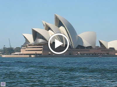
The site of the first British colony in Australia, Sydney was established  in 1788 at Sydney Cove by Arthur Phillip, commodore of the First Fleet. The city is built on hills surrounding Sydney Harbour – an inlet of the Tasman Sea on Australia's south-east coast. It is home to the iconic Sydney Opera House, Harbour Bridge and its beaches. The metropolitan area is surrounded by national parks, and contains many bays, rivers and inlets.

http://www.sydneyaustralia.com/en/
 
From Sydney Harbour 2008

 
From Sydney Harbour 2008

Bondi Beach Sydney Australia


Bondi Beach Sydney Australia


Home to the one of the world’s oldest surf life saving clubs, if not the oldest, this beautiful beach is the closest to the Sydney city centre (8kms). With the bright sunny days we get in Sydney Australia, even winter days are enjoyable here.
1km long, this south facing beach can attract more than 40,000 visitors on a typical summer weekend.
Offering topless sunbaking, swimming and great surfing for boards and bodies, the beach is popular with Australians as well as international tourists.

http://www.bondivillage.com/thennow.htm#history

Bondi" or "Boondi" is an aboriginal word meaning "water breaking over rocks" or "noise of water breaking over rocks." The Australian Museum records that Bondi means "place where a flight of nullas took place."

Between 1855 and 1877 Francis O'Brien of the Bondi Estate made the beach and the surrounding land available to the public as a picnic ground and pleasure resort, but for many years threatened to stop public access to the beach. In 1859 the Municipal Council asked the Government to establish an area at the beach as a public reserve but without success. It was not until June 1882 that the Government acted and Bondi Beach opened to the public.
In the mid 1850s buses begun to run to the edges of the Eastern Suburbs of Sydney. Transport beyond there was either on foot, horse or cart. Within a few years a number of private bus operators such as Old Steve, Joe Smith and M. Macnamara provided transport up to Bondi Junction. Generally speaking the buses ran about every half hour.
In 1933 the State Government took over the running of bus services to Bondi Junction. A year later Bondi Beach had a regular bus service with the main stop at Lamrock Avenue.
In the early 1870s the New South Wales Parliament introduced the Tramway Bill and by 1902 there was a sub-station at Bondi Junction. The electric tram service between Bondi Junction and the city of Sydney was established in 1905.
The first tram service to Bondi Beach was completed in 1929, and only after locals strongly protested to the authorities about the delay in extending the line from Bondi Junction. The last Bondi tram ran in 1958, and the huge Sydney tram network finally closed in February 1961. Whilst the Sydney trams were mainly burned, Melbourne is still one of the great tram cities of the world, and they are even extending their network.

From Sydney Manly 2008

Tuesday, October 13, 2009

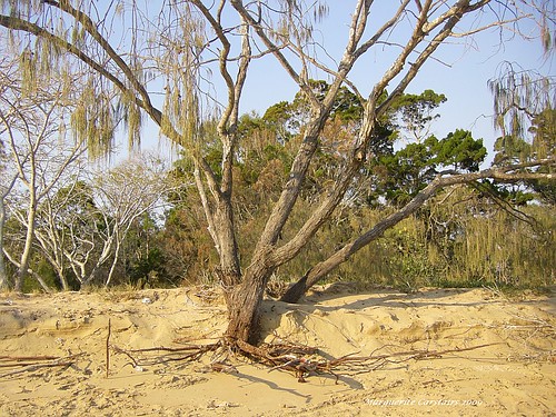
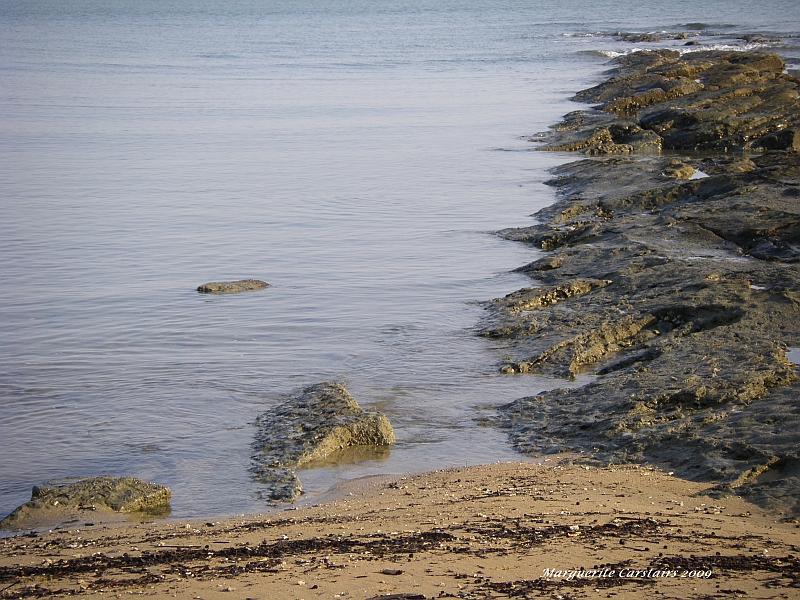
Erosion..Tree and Roots and effect of the Wind and Tides


Tree and roots, originally uploaded by Ladymaggic.
The tides and the winds are wearing away the Beach.
There has been talk of a Reclamation Project to protect the coastline that is slowly wearing down with time and weather.
Here the root system of the tree is entirely exposed.
Soon it will fall down and become another victim to the erosion like the others lining the shores.

http://www.epa.qld.gov.au/register/p01670aa.pdf

Sea erosion is a natural phenomenon of beaches. Beaches respond to environmental factors such as annual variations in the amount of sand washed down from rivers, changes in the geometry of river delta channels, and changes in the weather, especially prevailing winds, severe storms and tropical cyclones. The “active beach system” extends from well back in the dune system to seaward of the intertidal zone. As environmental conditions change, the beach profile changes as sand is moved onshore or offshore seeking an equilibrium profile. The movement of sand may appear as beach erosion, dune build-up or the formation of nearshore sand bars. These changes are commonly temporary, as the beach never achieves a stable profile, due to ever-changing environmental conditions. However, in some cases there may be a trend of ongoing erosion, resulting in long-term shoreline recession
Sea erosion can be classified as either long-term or short-term, depending on the time scale over which it occurs. Long-term erosion usually refers to a trend of erosion extending over several years and can be caused by a deficit in the annual sediment budget or in the longshore transport rates along the beach. Such erosion can occur without any reduction in the value of the beach natural system or as a public asset, as the beach profile is not changed but merely shifted landwards.
Short-term erosion refers to erosion that occurs over a period of days, rather than years, as a result of extreme weather events such as severe storm or cyclone activity. Short-term erosion results in changes to the profile of the beach. During short-term erosion events, the main sand transport mechanisms occur offshore. After the storm passes, normal beach processes usually produce onshore sand transport that restores the beach naturally. This natural restoration process may take many months or years. In most cases, intervention to restore the beach to its former condition is not required.


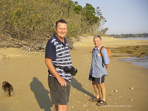
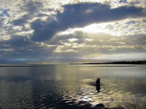
Beachwalk in the morning


Beachwalk in the morning, originally uploaded by Ladymaggic.
There is a leash free beach at Pialba where the dogs can run free and play in the water.
Every other day, I walk the dogs to the beach.
Stone likes to chase a stick in and out of the water. Brownie chases the birds trying to catch them.
One morning he went swimming after a seagull, and I watched horrified wondering whether he would come back or swim off forever. He did turn back eventually.
The water is wonderful for the dogs, and also children as its veru safe and smooth at Low tide.
Gef and Mark, and their dog Missie, came walking with us this fine morning


Arriving at Hervey Bay


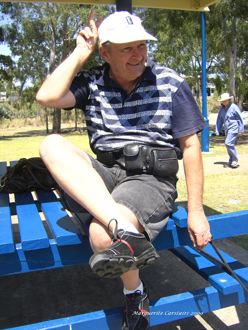
Gef Also Wears Prada

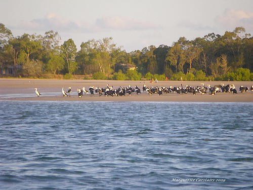
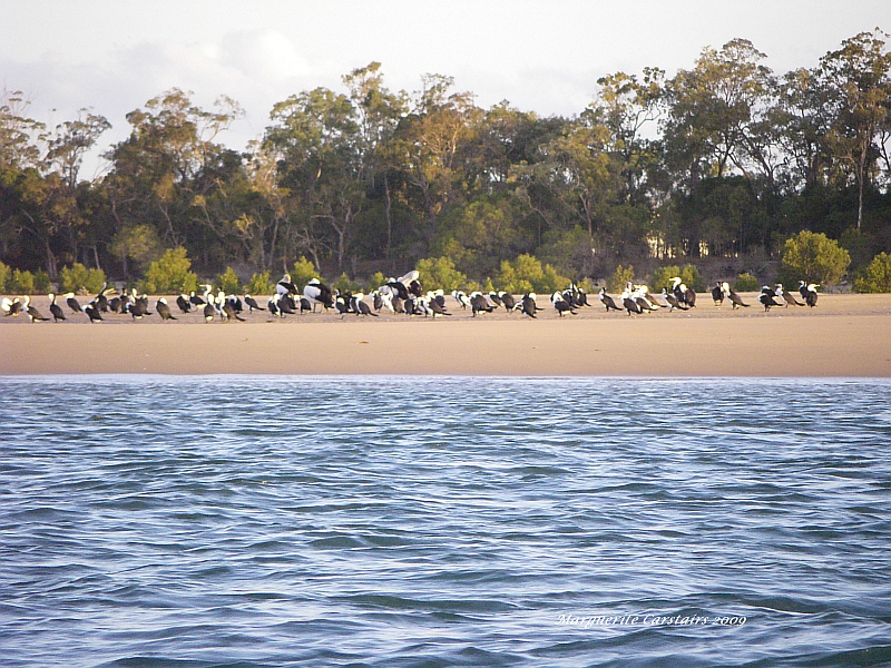
Comorants and the Mangroves of Burrum Heads


Low Tide on the River, originally uploaded by Ladymaggic.
Comorants live in the Mangroves along the River
So do Pelicans and other birds.
Burrum Heads is a Protected Water Sanctuary for Birds and the Mangroves


Mangroves are trees and shrubs that grow in saline coastal habitats in the tropics and subtropics – mainly between latitudes 25° N and 25° S. The saline conditions tolerated by various species range from brackish water, through pure seawater (30 to 40 ppt), to water of over twice the salinity of ocean seawater, where the salt has become concentrated by evaporation (up to 90 ppt).[1][2]

The many species of trees and shrubs adapted to saline conditions are not all closely related, and the term "mangrove" may be used for all of them, or more narrowly only for the mangrove family of plants, the Rhizophoraceae, or even more specifically just for mangrove trees of the genus Rhizophora

Mangroves form a characteristic saline woodland or shrubland habitat, called mangrove swamp, mangrove forest, mangrove or mangal.[3] Mangals are found in depositional coastal environments where fine sediments (often with high organic content) collect in areas protected from high energy wave action. They occur both in estuaries and along open coastlines. Mangroves dominate three quarters of tropical coastlines


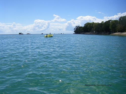
Coastal watch and Web Cam


Blue water, originally uploaded by Ladymaggic.
Burrum Heads

http://www.coastalwatch.com/news/article.aspx?articleId=6669&display=0&cateId=3&title=East%20Coast%20October%208-9,%202009

The last few flat weeks in August were boiling hot. September was cooler, and way more consistent on the swell front. So far October has been like some kind of winter renaissance.
Gusts of SSW wind up to 90km/h in Sydney and surrounds on Thursday October 9 damaged roofs and brought trees down on power lines, keeping emergency crews busy.
Of course the low pressure system that whipped up those winds moved out over the Tasman Sea on Wednesday evening and into our swell window.
Thursday morning dawned windy and cold. A fresh, raw south swell peaked late afternoon in the 8-10ft range at exposed south facing locations.

There weren’t too many surf able options on Thursday in all honesty though. It definitely was the biggest south swell to hit Sydney and surrounds so far this year. It was a total bummer though that the exposed sections of coast picking up the 8-10ft bombs were totally blown out. The extremely protected south corners were the only surf able options. The south corners were more like 5-6ft with some bigger sets here and there.


Hervey Bay Webcam

http://www.coastalwatch.com/camera/cameras_large.aspx?cam=475&state=QLD&t=3:43:29%20PM&camName=Hervey%20Bay


Wollongong


Pialba Hervey Bay


Monday, October 12, 2009

Morning Sunrise


Morning Sunrise, originally uploaded by Ladymaggic.

The morning on the beach is very beautiful.
We walked to the Pier and watched the changing colors of the sky.

The tide was out, so we walked over the sand to the water where it was warmer than the shore.
Even the dogs thought so as they spent the time in the water away from the edges where it was colder.
The beauty was spectacular.
The sun slowly rose behind the clouds and if God was there watching the world, he would have seen us standing there.
His fingers reached out and touched the morning.
In case we had missed that, he opened his whole hand and the magic fell out onto the world.

Networked Blogs

Followers